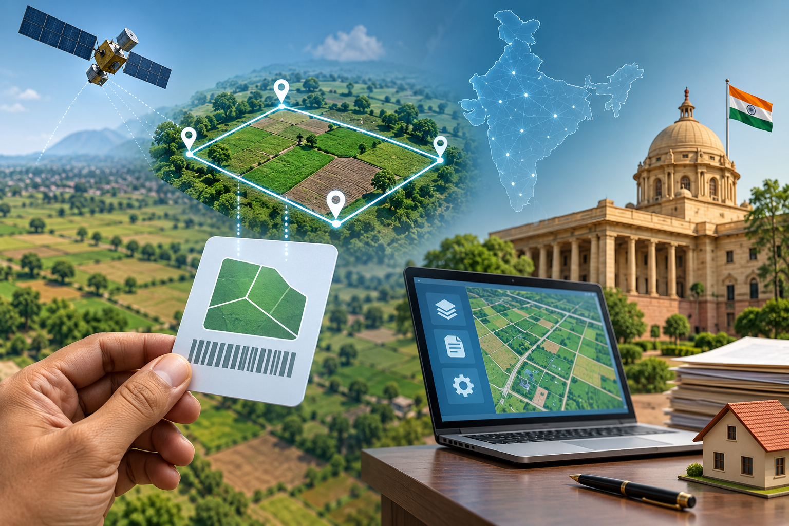
The government has launched DILRMP 3.0 to build an integrated digital land management system, bringing land records, maps and registrations onto a GIS-based framework.
Every land parcel will get a unique 14-digit Bhu-Aadhaar, aimed at improving identification, transparency and access to land-related services.
Highlights
- Centre launches third phase of Digital India Land Records Modernisation Programme.
- DILRMP 3.0 has an outlay of Rs 565.5 crore for 2026-31.
- Every land parcel will receive a unique 14-digit Bhu-Aadhaar.
- Land records, maps and registration data will be integrated digitally.
The Centre has rolled out a major upgrade to India’s digital land records system, launching operational guidelines for the third phase of the Digital India Land Records Modernisation Programme (DILRMP 3.0).
The programme, with an outlay of Rs 565.5 crore for the 2026-31 period, aims to create an integrated digital framework for managing land-related information across the country.
One of the most important features of the programme is the introduction of a unique 14-digit identification number for every land parcel. Known as Bhu-Aadhaar, or Unique Land Parcel Identification Number (ULPIN), it will provide individual identification to land parcels.
Under the programme, land records, maps, registrations and other related information will be brought together through a GIS-based digital framework. The move is expected to make land administration more transparent and reduce dependence on multiple physical records and government offices.
Union Rural Development Minister Shivraj Singh Chouhan, while launching the guidelines, said the initiative would take the land records programme beyond the digitisation of individual documents and towards an integrated land management system.
The government expects the upgraded system to particularly benefit farmers. Better and easily verifiable land records could help farmers access institutional credit more conveniently while reducing repeated visits to government offices for land-related work.
The programme is also aimed at creating better coordination between different components of land administration. Digitally connecting land records with maps and registration information could make it easier to verify ownership and identify individual land parcels.
The Bhu-Aadhaar system is expected to play a central role in this process by providing a standard identification number for each plot.
DILRMP 3.0 marks the next phase of the government’s broader effort to modernise land governance using digital technology. With GIS integration and unique land parcel identification, the Centre is looking to create a more unified, accessible and transparent land records ecosystem across India.