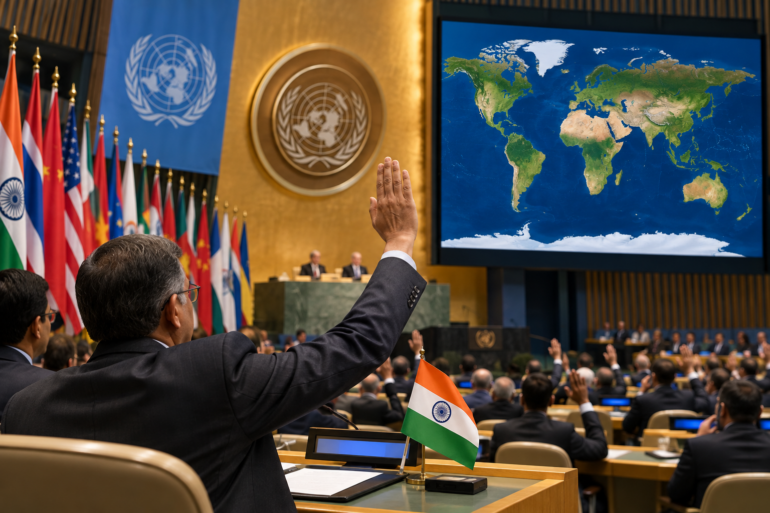
India has backed a UN General Assembly resolution aimed at improving the representation of continents and landmasses on world maps. The Togo-sponsored proposal received overwhelming support from 164 countries.
Highlights:
- India voted in favour of a UN resolution on more accurate world maps.
- The resolution received 164 votes in favour in the 193-member UN General Assembly.
India has voted in favour of a United Nations General Assembly resolution aimed at promoting more accurate and representative world maps, as countries seek to address distortions in the way continents and landmasses are depicted.
The 193-member UN General Assembly overwhelmingly adopted the resolution titled “Correct the map”, which calls for rebalancing global cartographic representation and promoting a more equitable portrayal of the world’s regions.
The resolution, sponsored by Togo, received 164 votes in favour, with several countries abstaining and the United States casting the sole vote against it, according to the report.
The initiative focuses particularly on distortions associated with traditional world map projections. The resolution notes that the Mercator projection, originally designed in the 16th century for navigational purposes, continues to be widely used in education, media and digital platforms despite distortions in the apparent size of landmasses.
It highlights concerns that such distortions can make regions including Africa, Latin America and South Asia appear smaller relative to some other parts of the world.
India welcomed the intention behind the resolution.
India’s First Secretary at its Permanent Mission to the UN, Raghoo Puri, said maps play an important role in how societies understand geography and the relative scale of different regions.
India, however, clarified that the resolution should be understood as supporting broader use and consideration of Equal Area map projections, rather than endorsing the Equal Earth projection or any other single map projection.
Equal Area projections are designed to preserve the relative sizes or areas of continents and territorial landmasses. At the same time, different projections can serve different purposes depending on whether priority is given to shape, direction, distance or area.
India said there is no single projection suitable for every application.
It therefore stressed that implementation of the resolution should remain technological- and methodological-neutral, allowing countries, institutions and cartographers to determine which map projection is most appropriate for their specific requirements.
The resolution reflects a broader international effort to make global cartographic representation more accurate while increasing awareness of how map projections can influence perceptions of the world’s geography.